International Training on Land Use Monitoring Concludes at the Economic Research Institute
15.07.2026
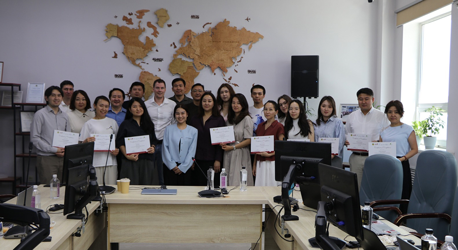
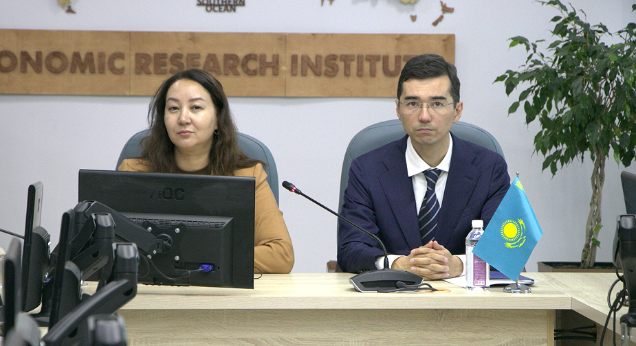 From 13 to 15 July 2026, the Economic Research Institute (ERI) hosted a training titled “From Satellite Data to Land Use Monitoring: Applying Google Earth Engine and Advanced Remote Sensing Methods for Monitoring Land Use, Land-Use Change and Forestry (LULUCF)”. Kazakhstan is implementing a large-scale initiative, supported by the NDC Partnership Action Fund and the Asian Disaster Preparedness Center (ADPC), aimed at strengthening national capacity in the Land Use, Land-Use Change and Forestry (LULUCF) sector. The initiative forms an important part of Kazakhstan’s climate strategy and seeks to improve the quality and transparency of the national greenhouse gas inventory through the application of remote sensing technologies, geographic information systems (GIS), and the development of detailed forest cover and carbon stock maps. A key component of the project is the establishment of a modern and reliable greenhouse gas inventory system based on advanced geospatial data management approaches. This includes working with raster and vector datasets, as well as integrating international platforms such as Collect Earth Online. Special emphasis is placed on strengthening the capacities of representatives from government agencies an.organizations directly involved in the management of climate and forestry data. This contributes to the long-term sustainability of the project’s outcomes and enhances national institutional and technical capacity. The training was delivered by international experts Bill Ho, Ate Poortinga, and Randy Chanarun. Approximately 28 specialists from the Economic Research Institute and partne.organizations participated in the training. The training program was delivered in stages. On the first day, participants explored the transition from satellite data to IPCC land-use classifications and learned methods for developing land-use and land-cover time series for Kazakhstan. The second day focused on applying machine learning techniques for land-use classification and generating activity data in accordance with IPCC guidelines. On the final day, participants examined methods for validating land-use maps, conducting objective area estimations, and comparing the results with Kazakhstan’s national greenhouse gas inventory data. The practical sessions and technical collaboration brought together specialists from the Economic Research Institute, Information and Analytical Center JSC, Kazakhstan Gharysh Sapary JSC, Zhasyl Damu JSC, the Kazakhstan Association of Regional Environmental Initiatives (ECOJER), the NDC Partnership, and other partne.organizations. Upon completion of the training, all participants received certificates. The implementation of this initiative will strengthen the technical and institutional capacities of participatin.organizations, enhance environmental data management systems, improve the quality of Kazakhstan’s national greenhouse gas inventory, and support the country’s long-term objectives in climate change mitigation, sustainable development, and transparent climate reporting.
Views: 1557 |
|
||||||||||||||||||||||||||||||||||||||||||||||||||||||||||||||||||||||||||||||||||||||||||||||||||||||||||||||||||||||||||||||||


|